Qatar Study Tour Day 8
The day started with me getting ready for school. My host was sick so her dad drove me and her younger brother to school. It had rained really hard the night before, which rarely happens, and because of the lack of drainage a lot of places were flooded. Some of us (CGS students) couldn’t make it to school because the flooding blocked the roads. While driving to school I saw water in yards and sidewalks that were so big that they could have been pools.
During the school day I stayed with another host and went to a physics class. The materials and lab tables that they had were very similar to the ones at McMahon except for a different layout and different colors.
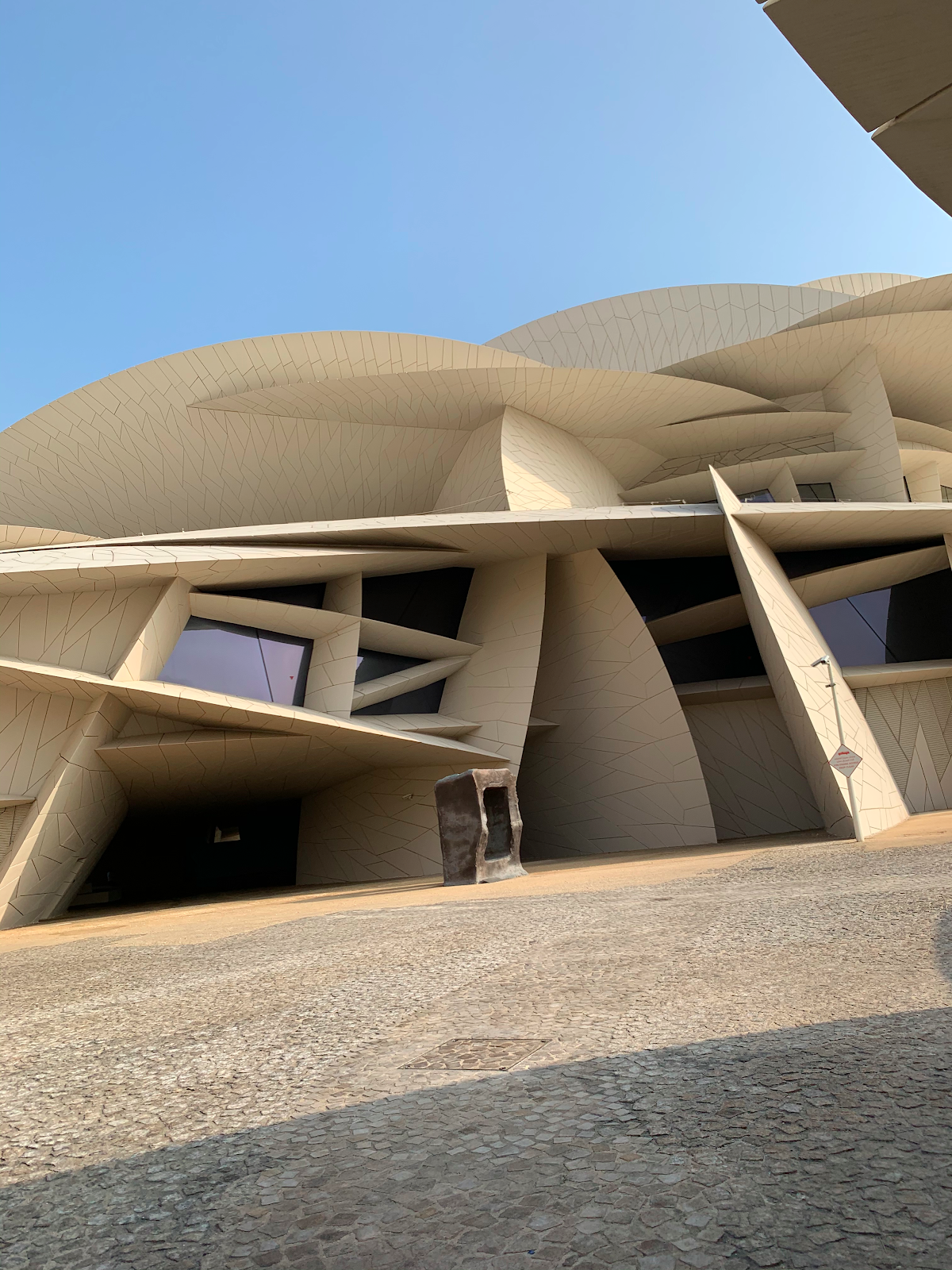
After first period we went to the National Museum. The museum was built to resemble a Qatari plant, the Desert rose. The building looked amazing! It was unlike anything I’ve ever seen before.
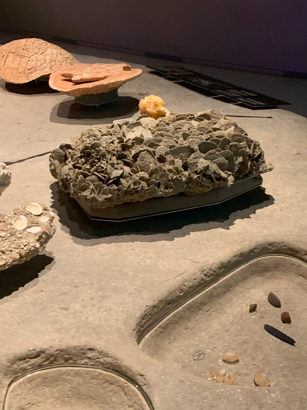
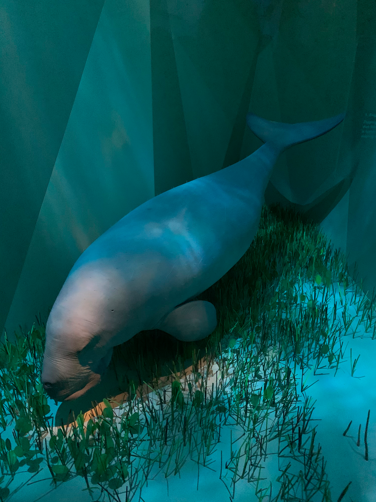
In the museum we were given a tour focusing on the history of sea navigation in Qatar. First we were led through an exhibit that was filled with statues depicting the animals native to Qatar.

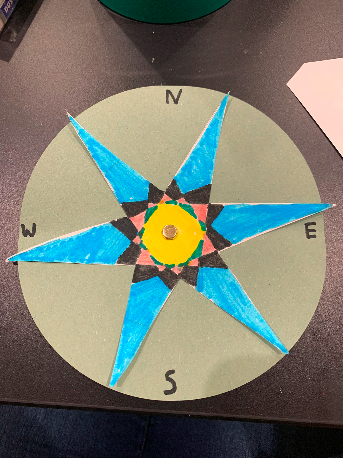
Then our tour guide brought us to a case with a compass and other navigation tools. He was talking about how sailors would figure out their position before there was GPS and modern navigation technology. They would find latitude using a rope with knots. The end is a rectangle that they place so that they can see the bottom side on the horizon and the top part on Polaris. Polaris is a star above the North Pole that never changes its position to us. They then calculate the angle using the length of the rope and that angle is what degree latitude they are at.
Longitude was a lot harder to figure out for sailors. Our tour guide said that it wasn’t discovered until centuries after latitude was. Basically, you divide 360, the degrees in a circle, by 24, the number of hours in a day, and get 15. So, when you leave your destination you note the time and then when you are at a destination or want to figure out your longitude you check the time, from the same time zone as your departure destination, and multiple the change by 15 to figure out how many degrees you have moved.

Afterwards we went to museum’s learning center and made compasses out of paper for a “Finding Our Way” themed craft. I accidentally cut mine wrong so it looked horrible, but it was fun to make.
Then we went back to the Middle East International School for one more period (most of us did homework in the library) before going back to our host’s home.
I relaxed at my host’s house for a few hours and ate lunch with them, which was traditional Sudanese food. Then my host and I went to Aspire Park, next to the Villagio Mall, and hung out with most of the other hosts for about 4 hours. We talked, played volleyball, and got milkshakes and Tea Time (a popular chain restaurant here).


Comments
Post a Comment